Magnolia macrophylla Range Map
Description:
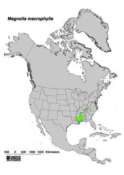
Description: English: Magnolia macrophylla Range Map Digital representation of "Atlas of United States Trees" by Elbert L. Little, Jr. 1999. U.S. Geological Survey. [1]. Date: 17 October 2012, 21:26:57. Source: http://esp.cr.usgs.gov/data/atlas/little/. Author: USGS.
Included On The Following Pages:
- Life (creatures)
- Cellular (cellular organisms)
- Eukaryota (eukaryotes)
- Archaeplastida (plants)
- Chloroplastida (green plants)
- Streptophyta
- Embryophytes
- Tracheophyta (ferns)
- Spermatophytes (seed plants)
- Angiosperms (Dicotyledons)
- Magnoliids
- Magnoliales
- Magnoliaceae (magnolias and relatives)
- Magnolia (magnolia)
- Magnolia macrophylla (Big-Leaf Magnolia)
This image is not featured in any collections.
Source Information
- license
- cc-publicdomain
- creator
- USGS
- source
- http://esp.cr.usgs.gov/data/atlas/little/
- original
- original media file
- visit source
- partner site
- Wikimedia Commons
- ID