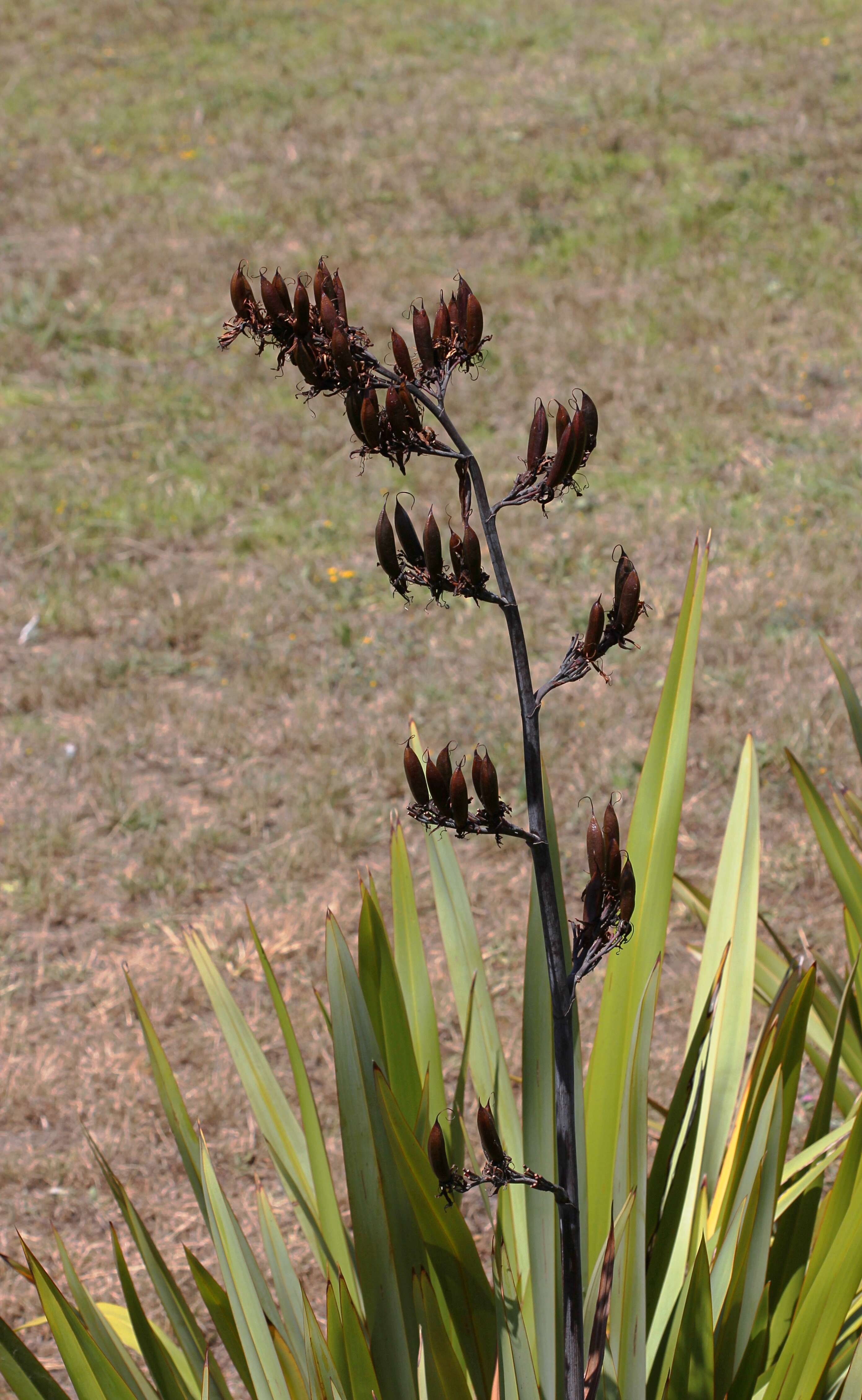
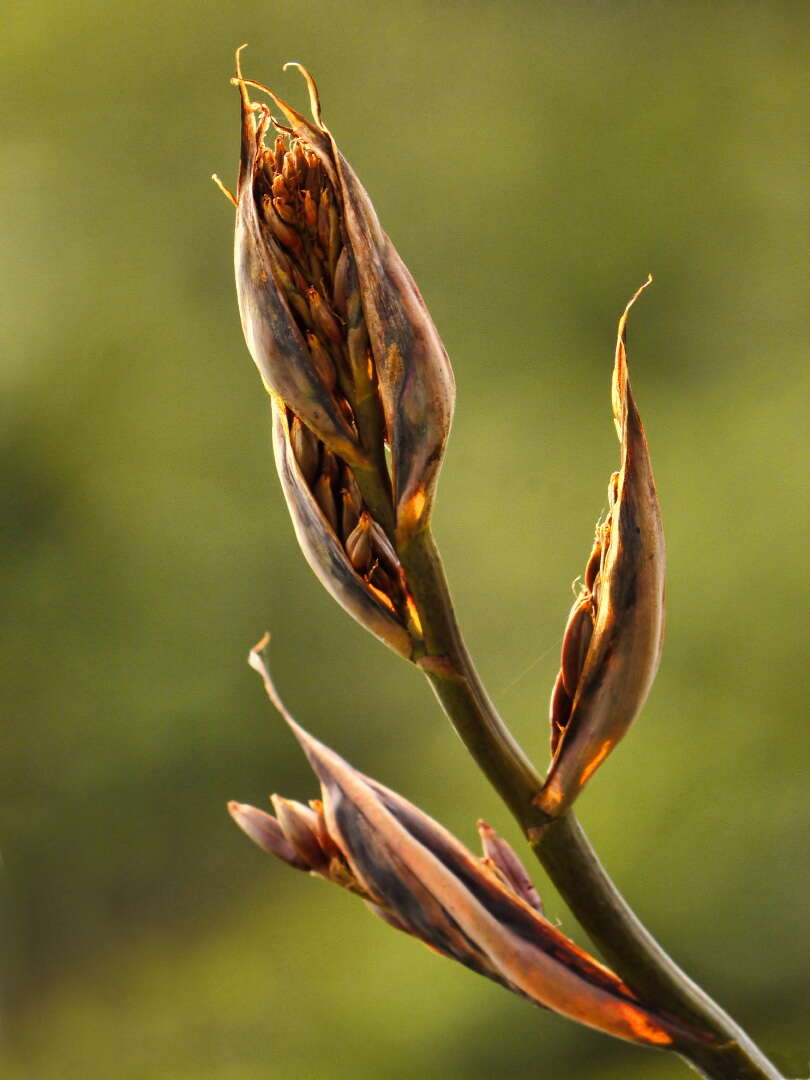
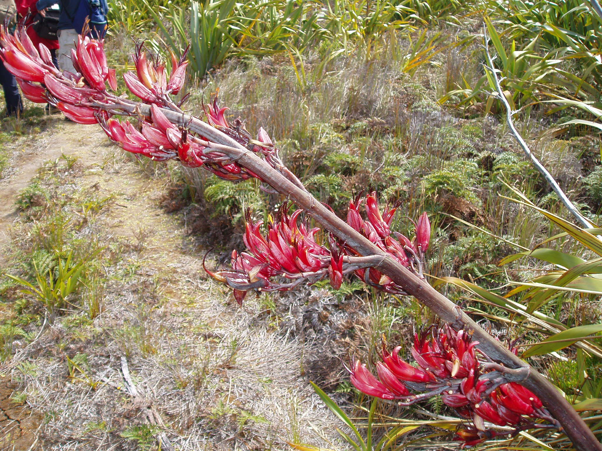
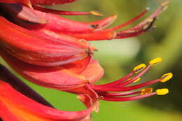
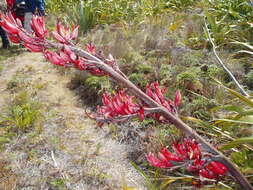
Description: English: Flower spike of New Zealand flax (Phormium tenax), bearing seed pods. Taken in Auckland, New Zealand. Date: 12 December 2010. Source: Own work. Author: Avenue. Camera location36° 54′ 22.03″ S, 174° 43′ 38.37″ EView all coordinates using: OpenStreetMap-36.906120; 174.727325.
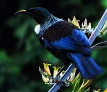
Summary Photo taken by Tom Rix. Native New Zealand Tui perching on New Zealand flax Crop by User:Samsara, of Image:NewZealandTuiOnFlax_brighter.jpg. See en:Image:NewZealandTuiOnFlax.jpg Licensing[edit].mw-parser-output.responsive-license-cc{clear:both;text-align:center;box-sizing:border-box;width:100%;justify-content:space-around;align-items:center;margin:0.5em auto;background-color:#f9f9f9;border:2px solid #e0e0e0;border-spacing:8px;display:flex}.mw-parser-output.responsive-license-cc div{margin:4px}.mw-parser-output.rlicense-text div{margin:0.5em auto}@media screen and (max-width:640px){.mw-parser-output.responsive-license-cc{flex-flow:column}.mw-parser-output.rlicense-text{order:1}} This file is licensed under the Creative CommonsAttribution 2.5 Generic license. You are free: to share – to copy, distribute and transmit the work to remix – to adapt the work Under the following conditions: attribution – You must give appropriate credit, provide a link to the license, and indicate if changes were made. You may do so in any reasonable manner, but not in any way that suggests the licensor endorses you or your use. https://creativecommons.org/licenses/by/2.5CC BY 2.5 Creative Commons Attribution 2.5 truetrue Other versions[edit] This image has been categorised by project WikiProject Birds
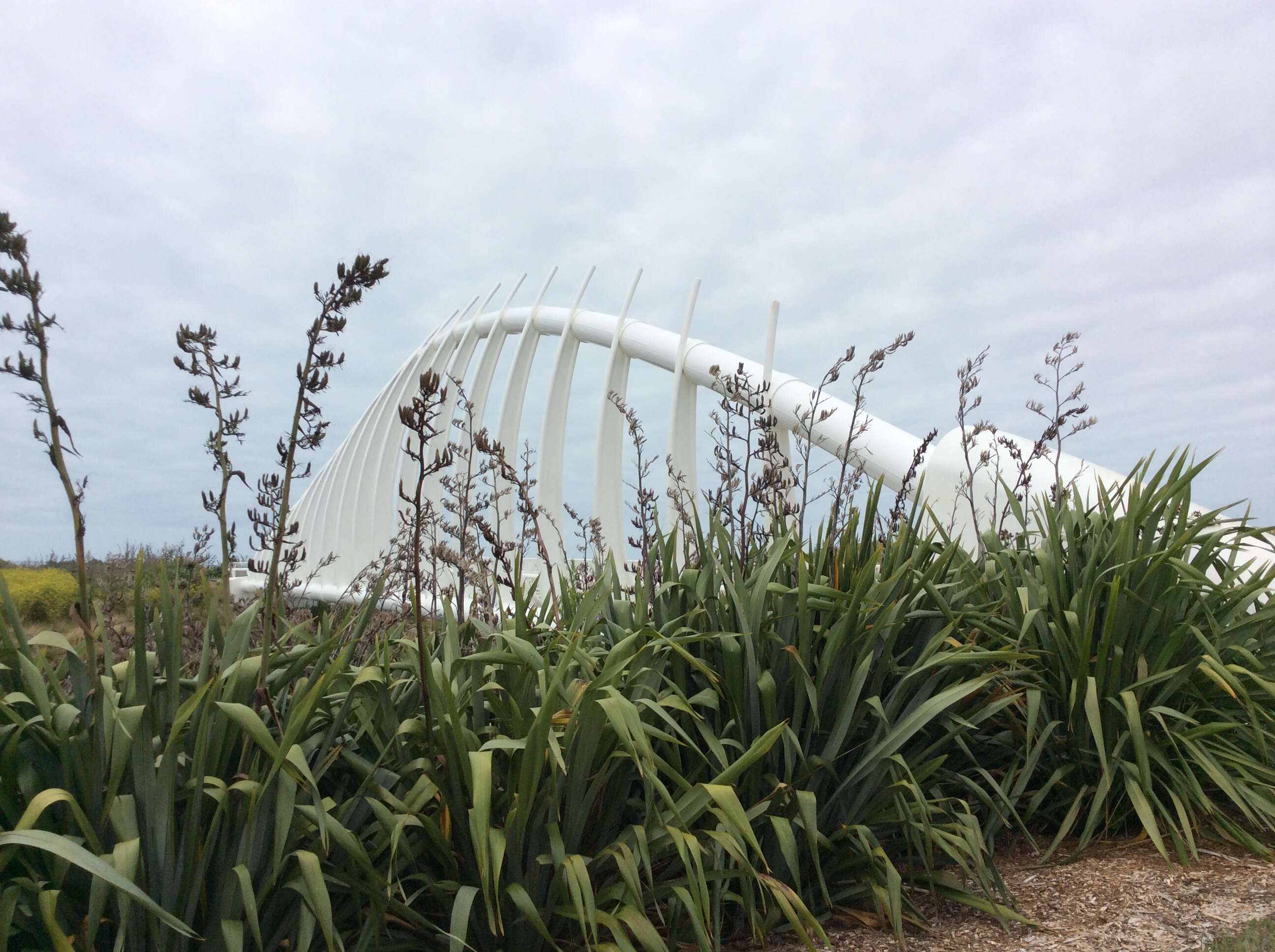
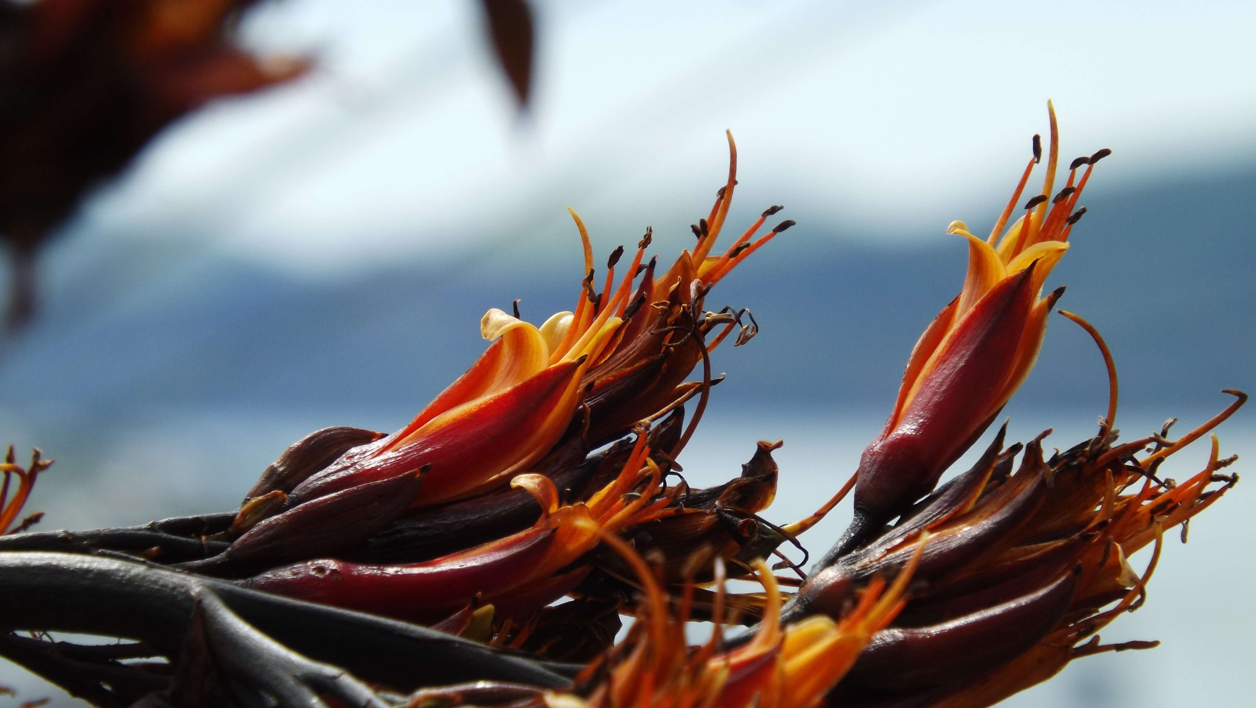
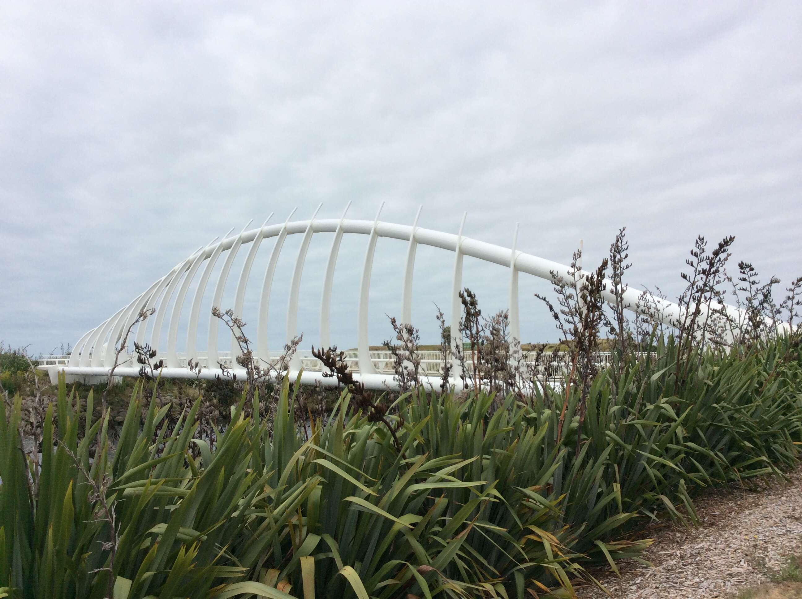
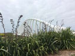
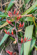
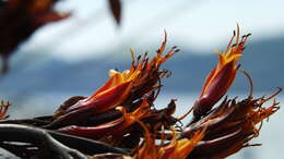
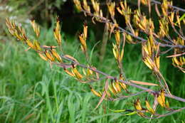
Description: English: Harakeke fruits (Phormium tenax) at the Te Rewa Rewa Bridge in New Plymouth, North Island, New Zealand. Date: 9 February 2015, 16:06:12. Source: Own work. Author: MurielBendel.
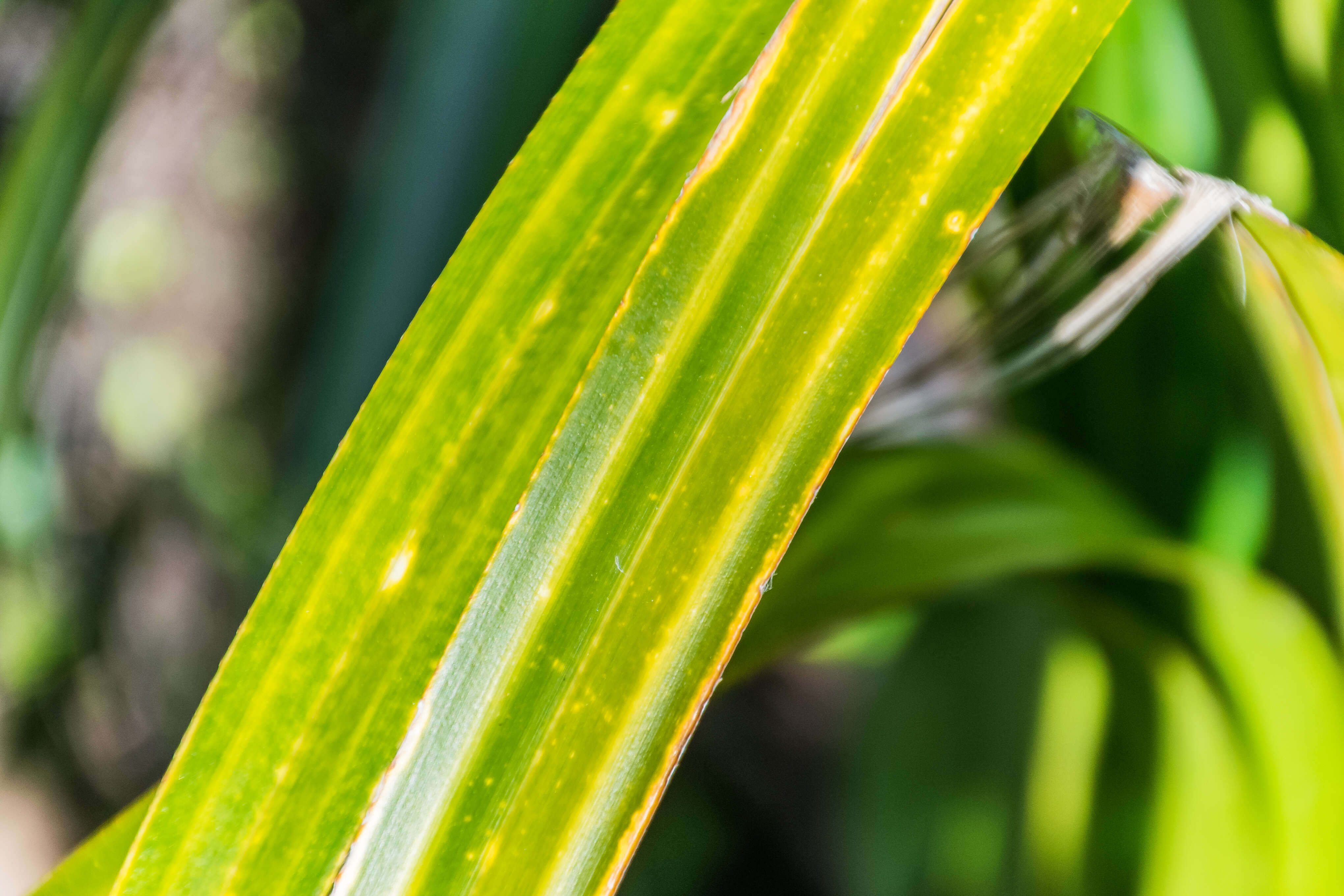
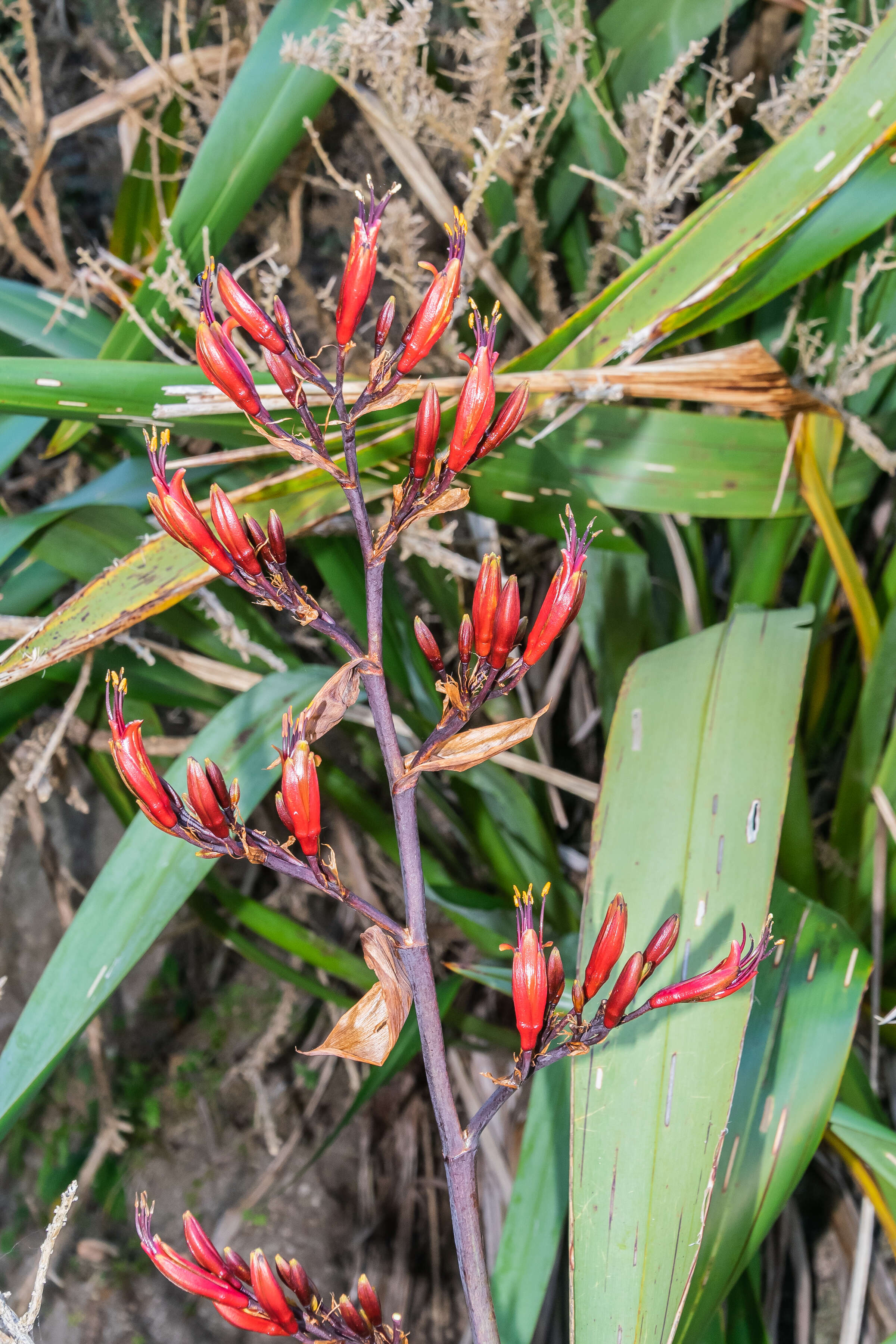
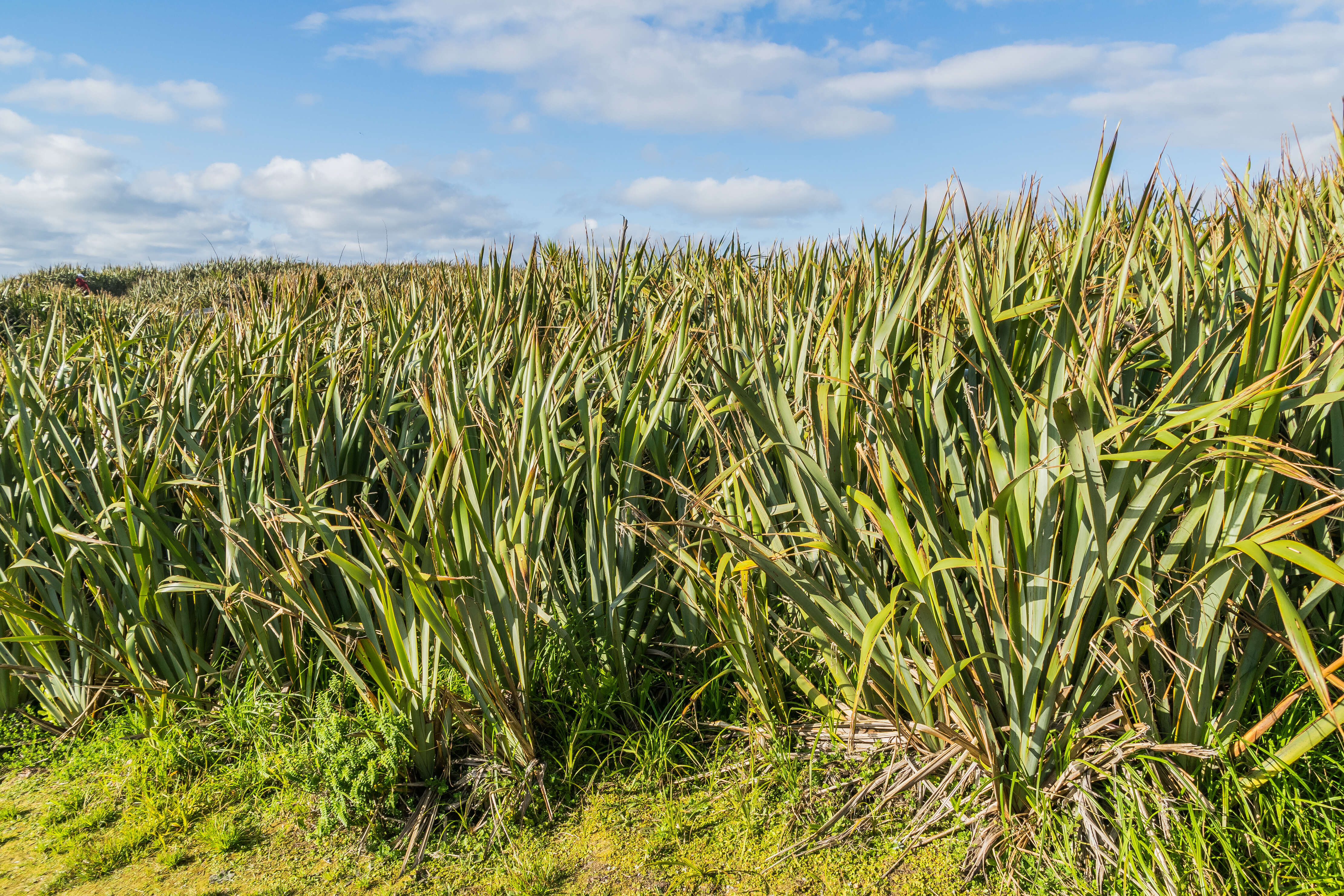
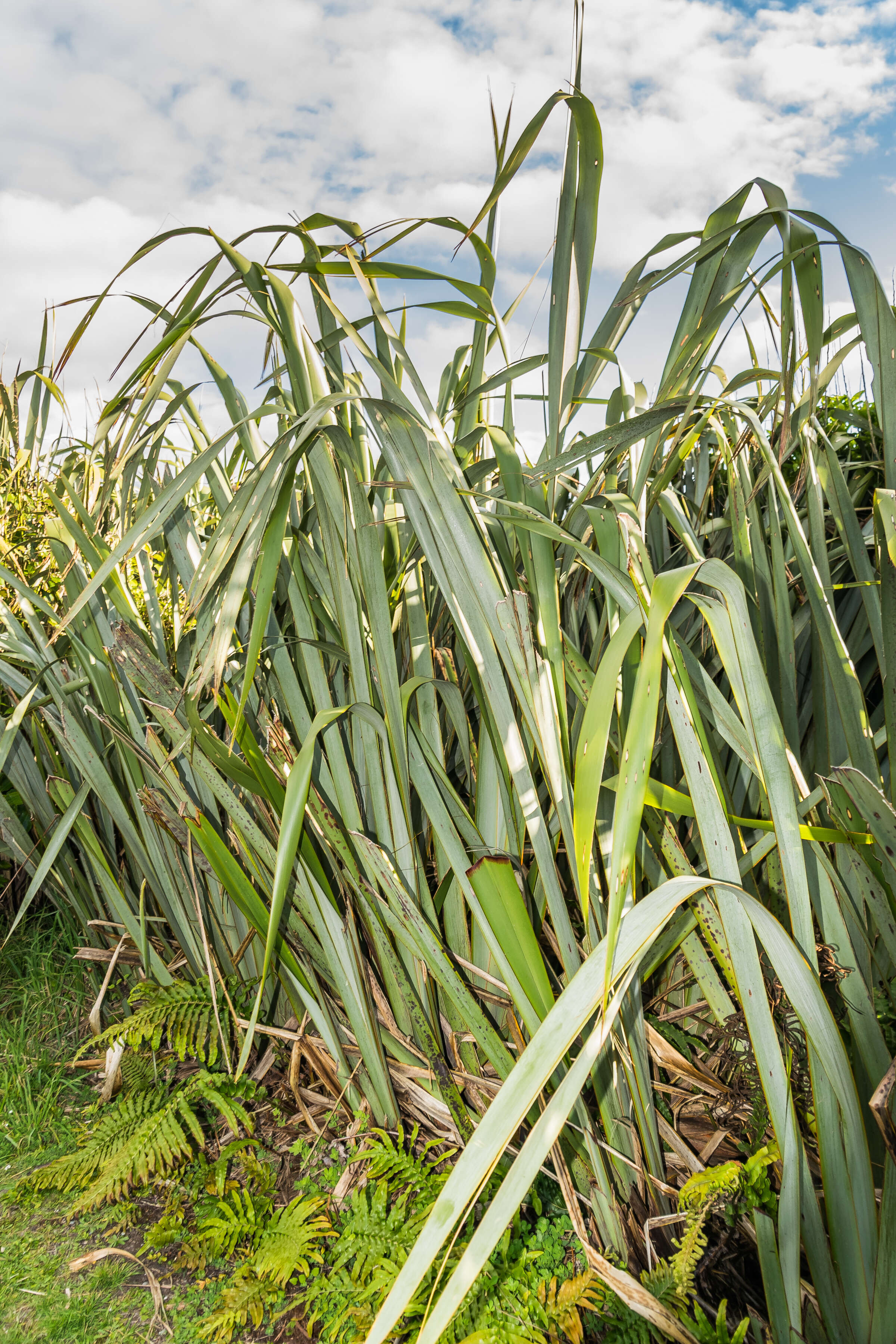
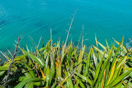
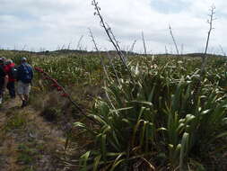
Description: English: Phormium tenax in Punakaiki in Paparoa National Park, West Coast Region, South Island of New Zealand. Date: 14 November 2017, 08:16:54. Source: Own work. Author: Krzysztof Golik. Camera location42° 06′ 51.19″ S, 171° 19′ 41.04″ EView all coordinates using: OpenStreetMap-42.114220; 171.328068.
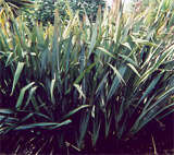
Species Phormium tenax Family Hemerocallidaceae Summary New Zealand flax (Phormium tenax) at the Dunedin botanical gardens. Taken by Tristanb, released under GFDL. from en.wikipedia [1] 03:50, 2 November 2003. Tristanb (Talk). 160x142 (16072 bytes) Licensing[edit] : Permission is granted to copy, distribute and/or modify this document under the terms of the GNU Free Documentation License, Version 1.2 or any later version published by the Free Software Foundation; with no Invariant Sections, no Front-Cover Texts, and no Back-Cover Texts. A copy of the license is included in the section entitled GNU Free Documentation License. Subject to disclaimers.http://www.gnu.org/copyleft/fdl.htmlGFDLGNU Free Documentation Licensetruetrue. : This file is licensed under the Creative CommonsAttribution-Share Alike 3.0 Unported license. Subject to disclaimers.:.. This licensing tag was added to this file as part of the GFDL licensing update.http://creativecommons.org/licenses/by-sa/3.0/CC-BY-SA-3.0Creative Commons Attribution-Share Alike 3.0 truetrue.
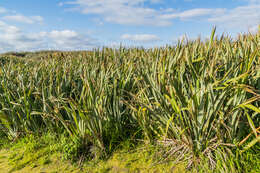
Description: English: Phormium tenax in Punakaiki in Paparoa National Park, West Coast Region, South Island of New Zealand. Date: 14 November 2017, 08:14:05. Source: Own work. Author: Krzysztof Golik. Camera location42° 06′ 51.19″ S, 171° 19′ 41.04″ EView all coordinates using: OpenStreetMap-42.114220; 171.328068.
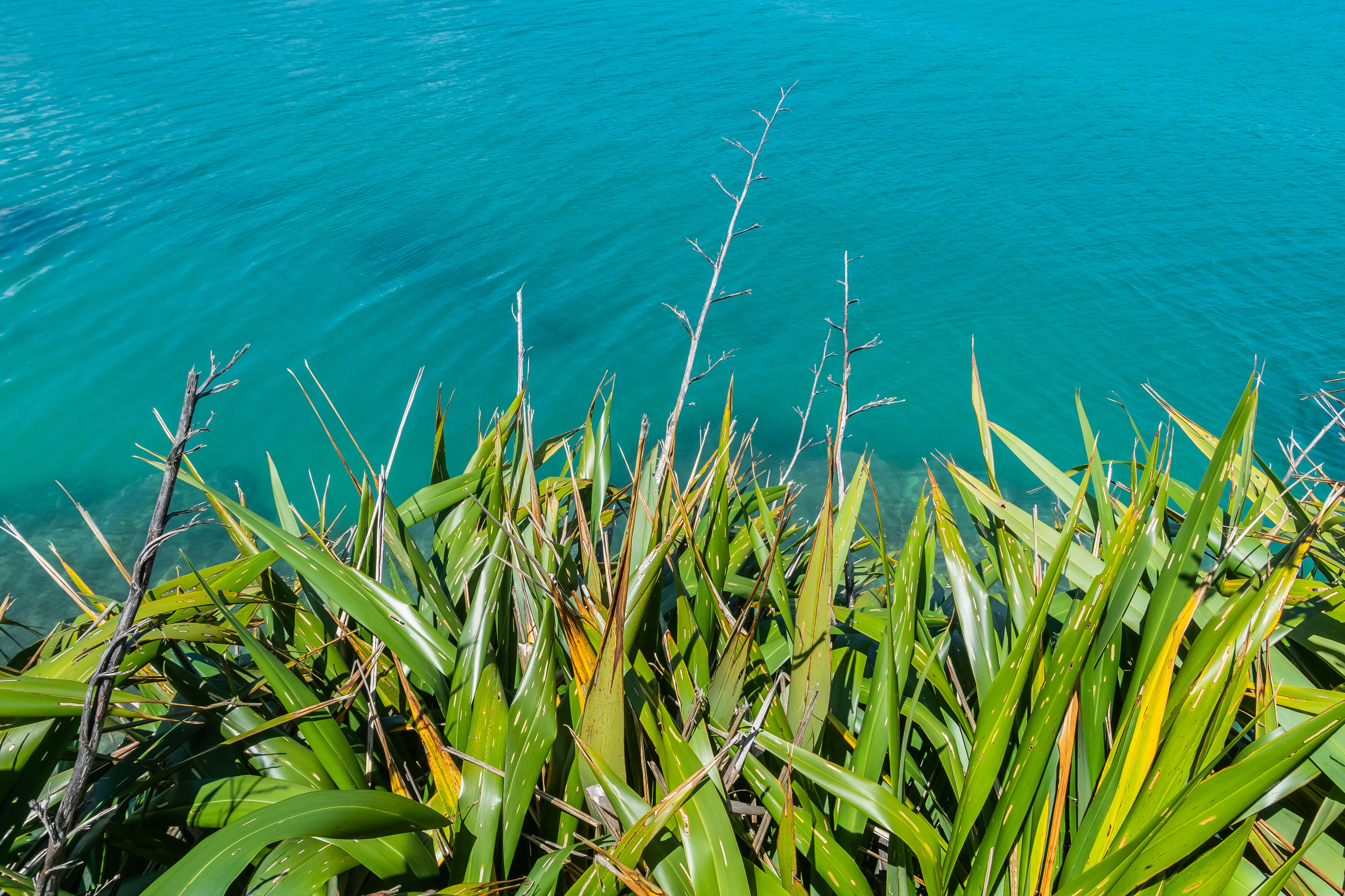
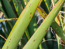
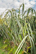
Description: English: Phormium tenax in Abel Tasman National Park, Tasman Region, South Island of New Zealand. Date: 23 November 2017, 00:34:58. Source: Own work. Author: Krzysztof Golik (1987–) . . Description: Polish Wikimedian and photographerFree-license photographer. Date of birth: 16 April 1987 . Location of birth: Świecie. Authority control: : Q51955005. creator QS:P170,Q51955005. Camera location40° 47′ 56.01″ S, 172° 57′ 08.2″ EView all coordinates using: OpenStreetMap-40.798893; 172.952278.
Description: English: Phormium tenax in Abel Tasman National Park, Tasman Region, South Island of New Zealand. Date: 23 November 2017, 00:48:41. Source: Own work. Author: Krzysztof Golik (1987–) . . Description: Polish Wikimedian and photographerFree-license photographer. Date of birth: 16 April 1987 . Location of birth: Świecie. Authority control: : Q51955005. creator QS:P170,Q51955005. Camera location40° 47′ 56.01″ S, 172° 57′ 08.2″ EView all coordinates using: OpenStreetMap-40.798893; 172.952278.
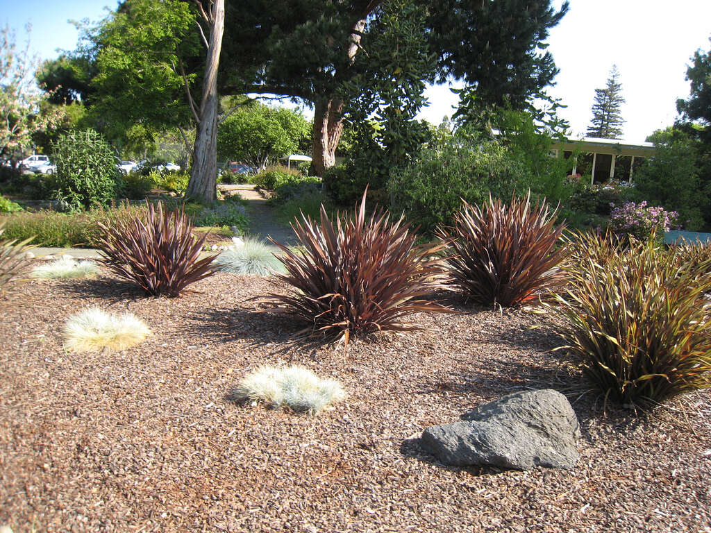
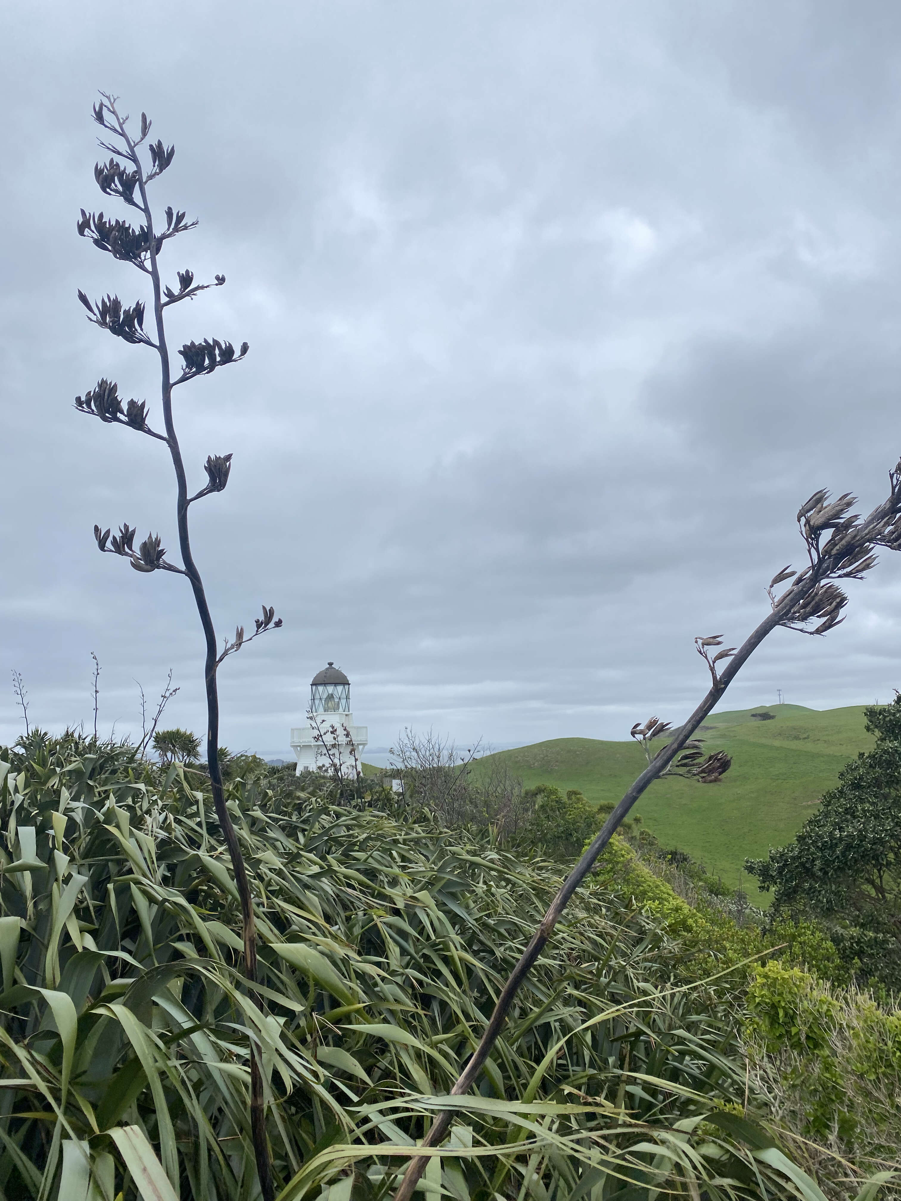
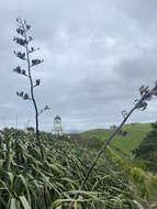
Description: English: Manukau Heads Lighthouse surrounded by New Zealand flax. Photograph by Charlotte Milne. Date: 23 October 2021, 15:30:08. Source: https://www.flickr.com/photos/194100792@N06/51635032219/. Author: aklmuseumstaffwikipedia.
Description: English: Phormium tenax in Punakaiki in Paparoa National Park, West Coast Region, South Island of New Zealand. Date: 14 November 2017, 08:14:25. Source: Own work. Author: Krzysztof Golik. Camera location42° 06′ 51.19″ S, 171° 19′ 41.04″ EView all coordinates using: OpenStreetMap-42.114220; 171.328068.
Description: English: Phormium tenax in Punakaiki in Paparoa National Park, West Coast Region, South Island of New Zealand. Date: 14 November 2017, 08:01:13. Source: Own work. Author: Krzysztof Golik. Camera location42° 06′ 51.19″ S, 171° 19′ 41.04″ EView all coordinates using: OpenStreetMap-42.114220; 171.328068.
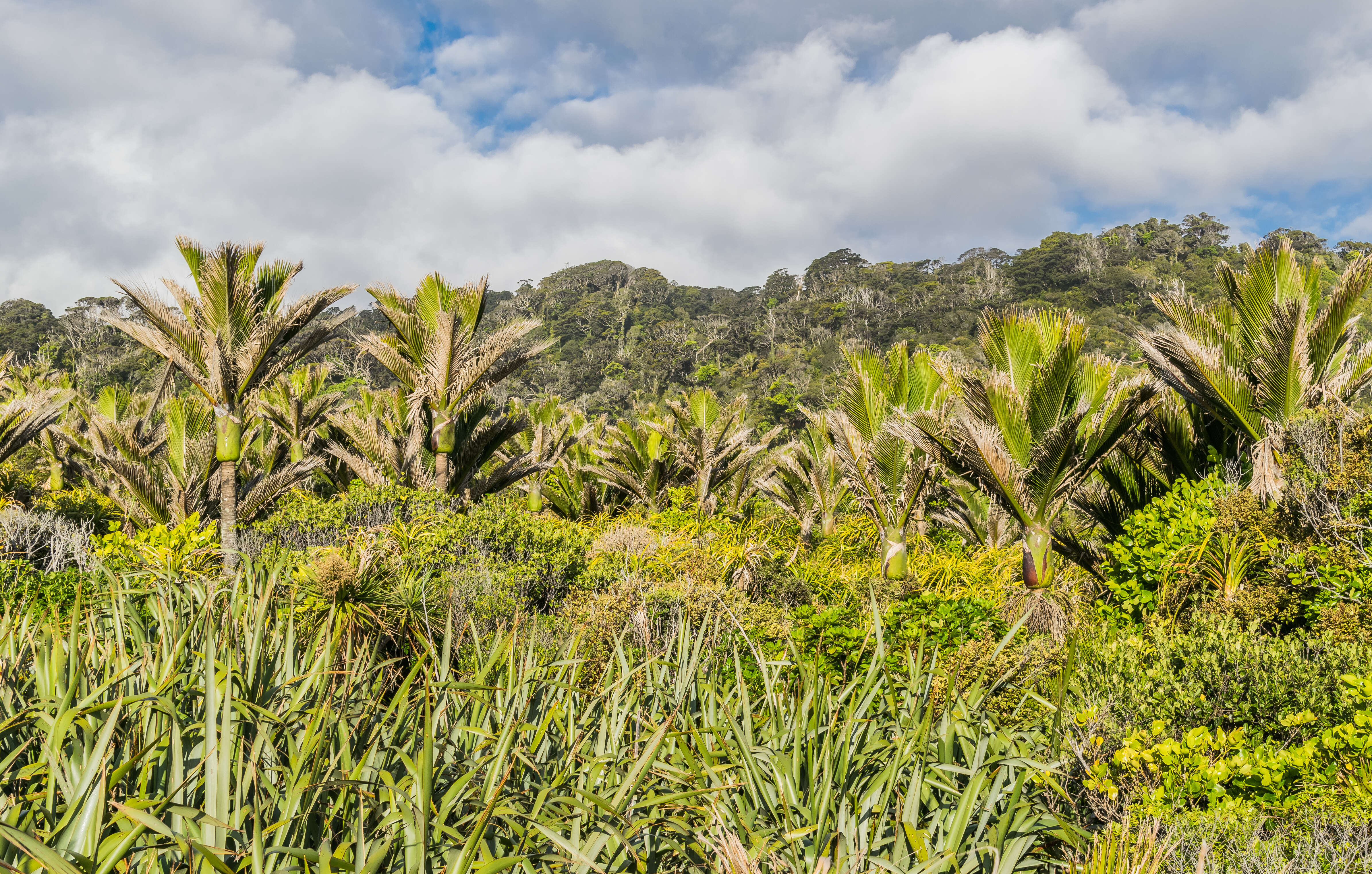
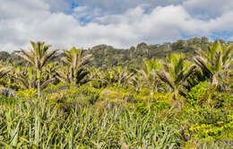
Description: English: Phormium tenax and Rhopalostylis sapida in Punakaiki in Paparoa National Park, West Coast Region, South Island of New Zealand. Date: 14 November 2017, 07:59:22. Source: Own work. Author: Krzysztof Golik. Camera location42° 06′ 51.19″ S, 171° 19′ 41.04″ EView all coordinates using: OpenStreetMap-42.114220; 171.328068.
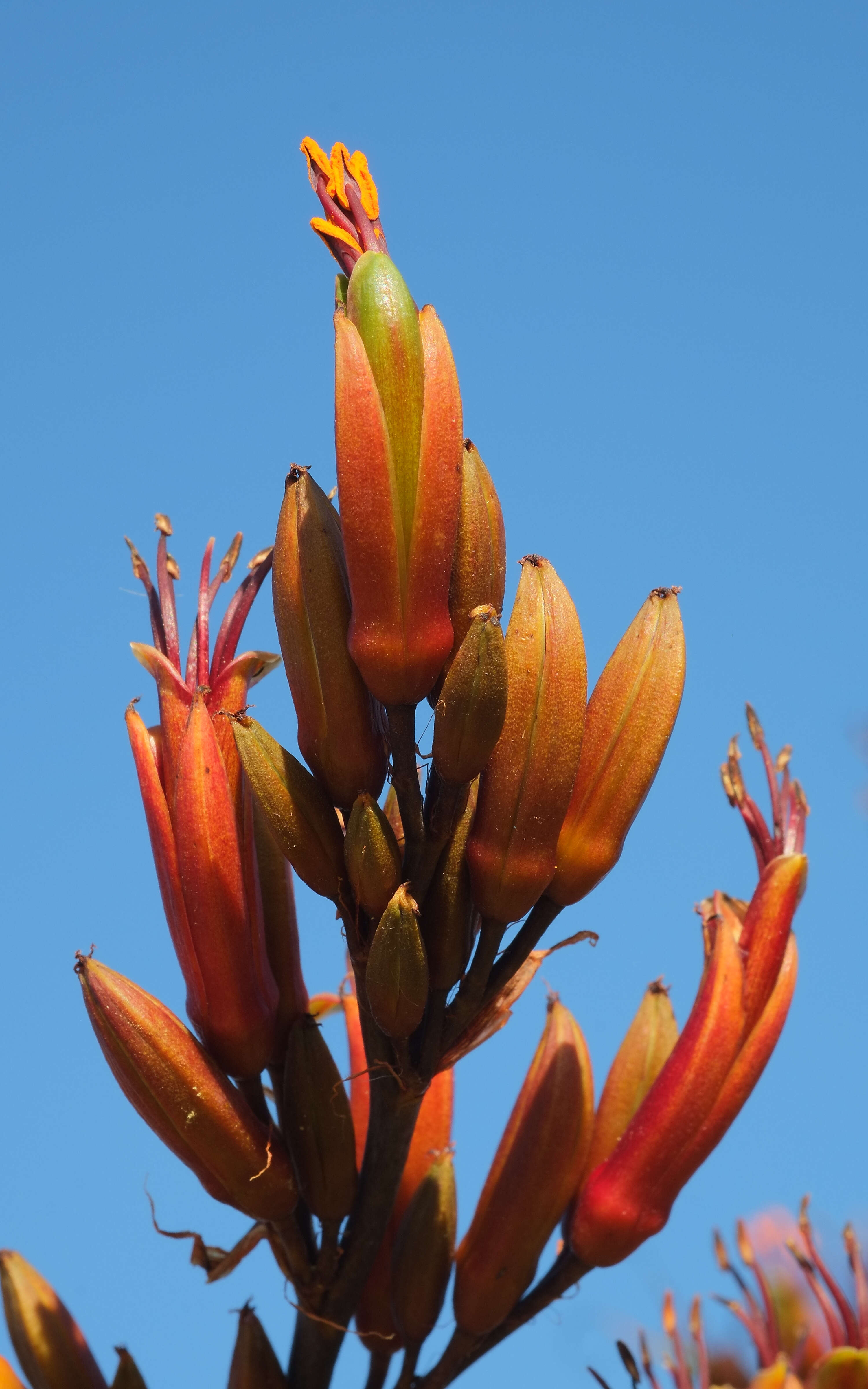
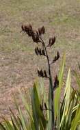
Description: New Zealand flax (Phormium tenax) flower spike against blue sky. Date: 28 December 2015. Source: Own work. Author: Pseudopanax at English Wikipedia.
Description: English: Harakeke fruits (Phormium tenax) at the Te Rewa Rewa Bridge in New Plymouth, North Island, New Zealand. Date: 9 February 2015, 16:06:28. Source: Own work. Author: MurielBendel.
Description: English: Phormium tenax in Punakaiki in Paparoa National Park, West Coast Region, South Island of New Zealand. Date: 14 November 2017, 07:58:33. Source: Own work. Author: Krzysztof Golik. Camera location42° 06′ 51.19″ S, 171° 19′ 41.04″ EView all coordinates using: OpenStreetMap-42.114220; 171.328068.


![[1]](http://en.wikipedia.org/wiki/Image:Nzflax_small.jpg)
.jpg)
.jpg)
.jpg)
.jpg)