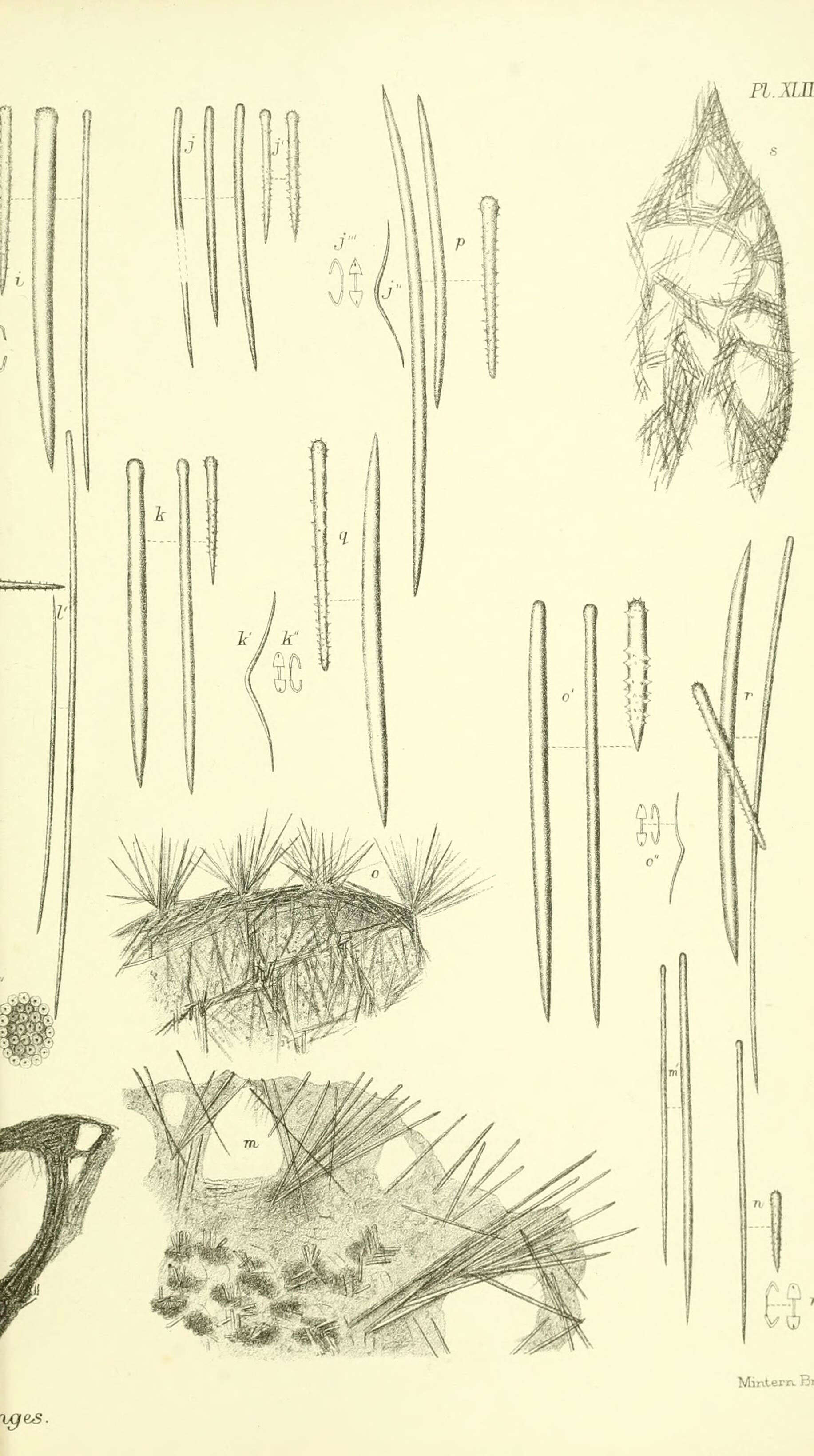
Report on the zoological collections made in the Indo-Pacific Ocean during the voyage of H.M.S. 'Alert' 1881-2.London :Printed by order of the Trustees,1884. biodiversitylibrary.org/page/12067778
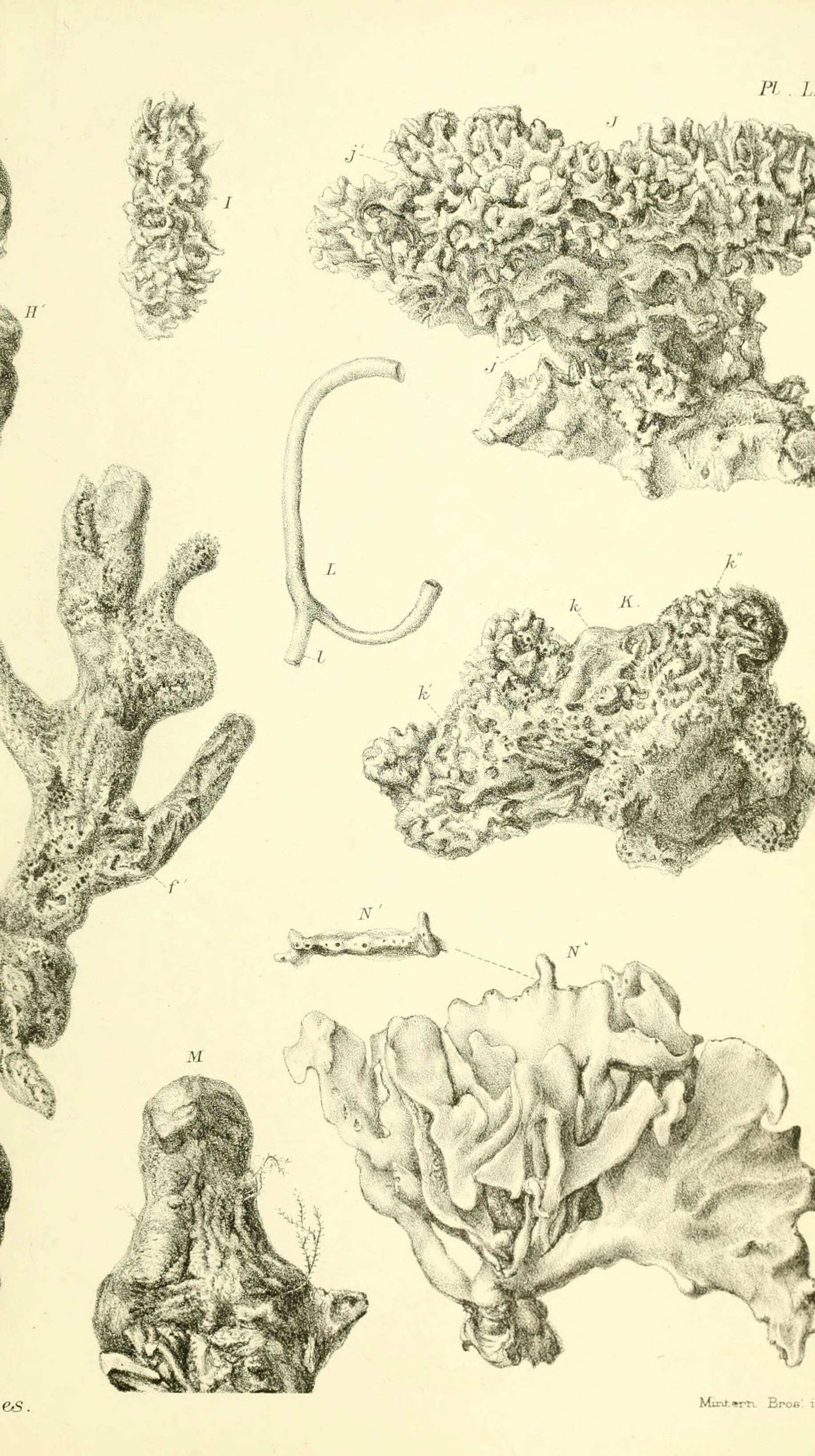
Report on the zoological collections made in the Indo-Pacific Ocean during the voyage of H.M.S. 'Alert' 1881-2.London :Printed by order of the Trustees,1884. biodiversitylibrary.org/page/12067804