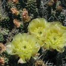
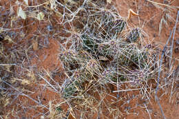
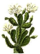
Description: Plains pricklypear (Opuntia polyacantha), Cactus family (Cactaceae). Small hills along road SR-30 in Rich County, Utah. Date: 26 June 2016, 14:13. Source: 2016.06.26_14.13.46_DSC05041. Author: Andrey Zharkikh from Salt Lake City, USA.
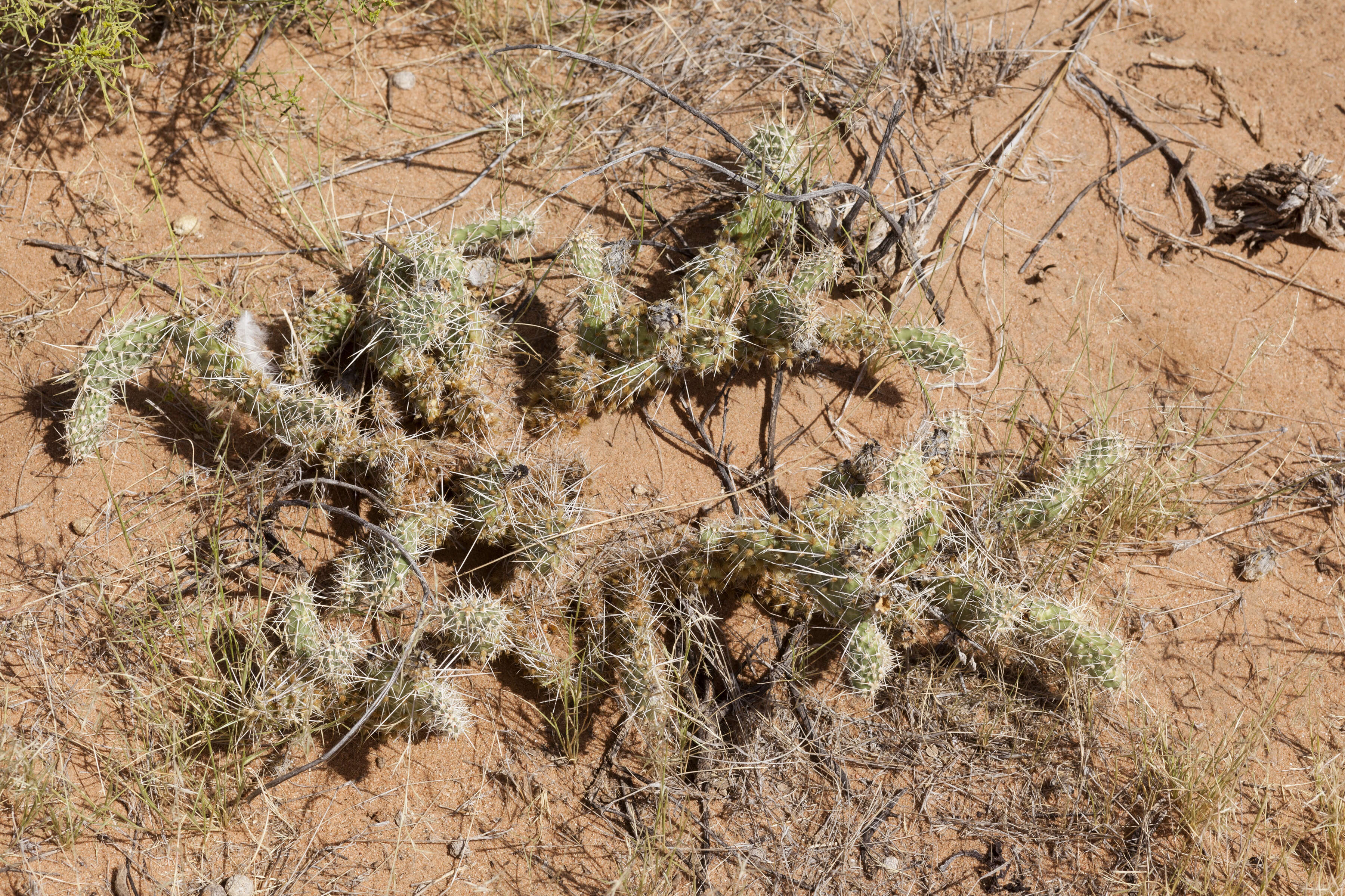
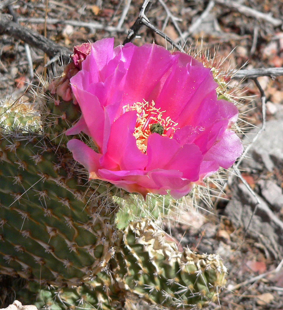
Description: Opuntia arenaria near Black Mountain, south of Las Cruces, Doña Ana County, New Mexico, 7 Dec 2014. Date: 7 December 2014, 19:29. Source: Opuntia arenaria. Author: Patrick Alexander from Las Cruces, NM.
Description: Opuntia polyacantha var. erinacea on Blue Diamond Hill, Spring Mountains, southern Nevada. Date: 3 May 2007. Source: Own work. Author: Stan Shebs. Stan Shebs, the copyright holder of this work, hereby publishes it under the following licenses: : Permission is granted to copy, distribute and/or modify this document under the terms of the GNU Free Documentation License, Version 1.2 or any later version published by the Free Software Foundation; with no Invariant Sections, no Front-Cover Texts, and no Back-Cover Texts. A copy of the license is included in the section entitled GNU Free Documentation License.http://www.gnu.org/copyleft/fdl.htmlGFDLGNU Free Documentation Licensetruetrue. : This file is licensed under the Creative CommonsAttribution-Share Alike 3.0 Unported license.:. Attribution: Stan Shebs. https://creativecommons.org/licenses/by-sa/3.0 CC BY-SA 3.0 Creative Commons Attribution-Share Alike 3.0 truetrue. : This file is licensed under the Creative CommonsAttribution-Share Alike 2.5 Generic license.:. Attribution: Stan Shebs. https://creativecommons.org/licenses/by-sa/2.5 CC BY-SA 2.5 Creative Commons Attribution-Share Alike 2.5 truetrue. You may select the license of your choice.
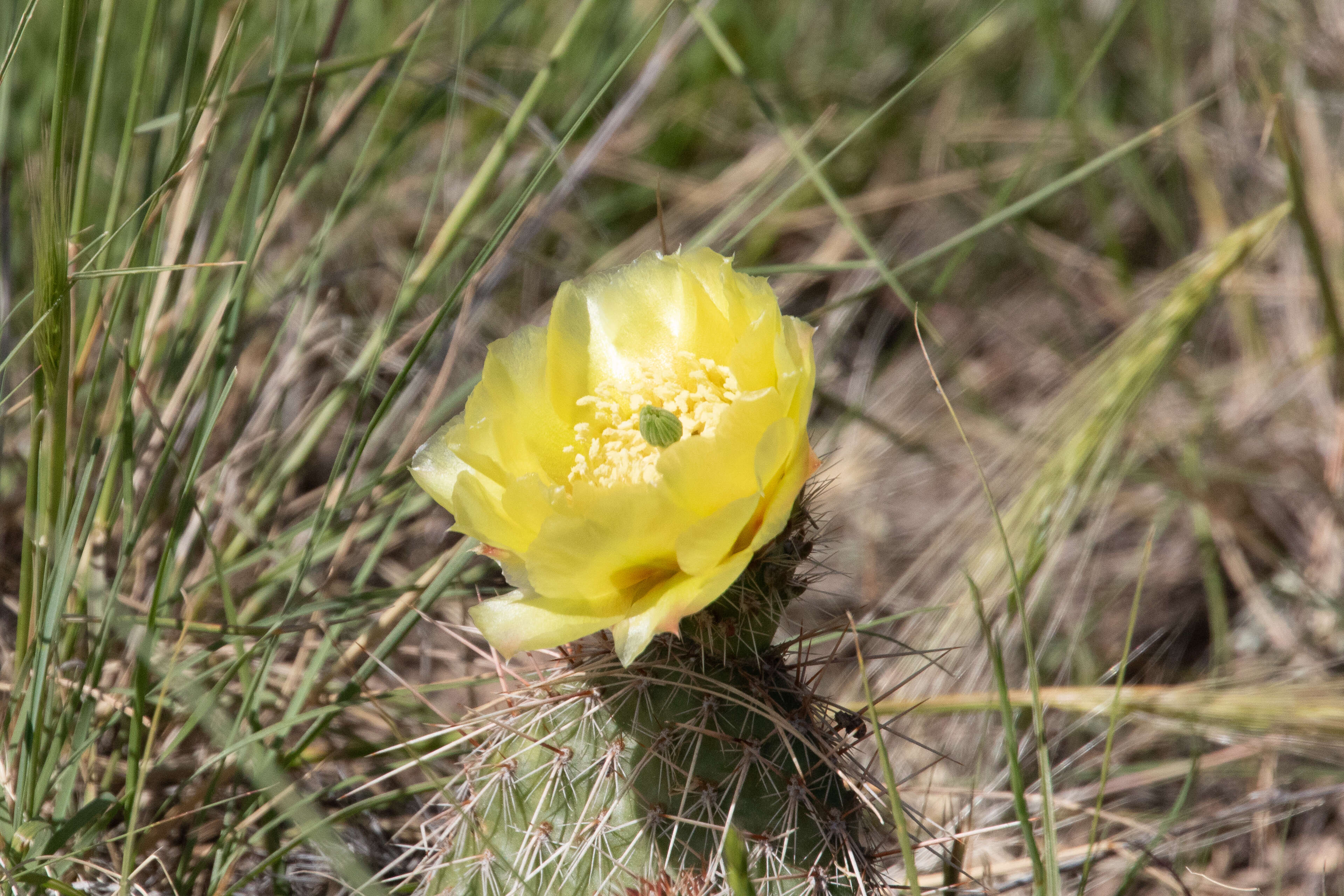
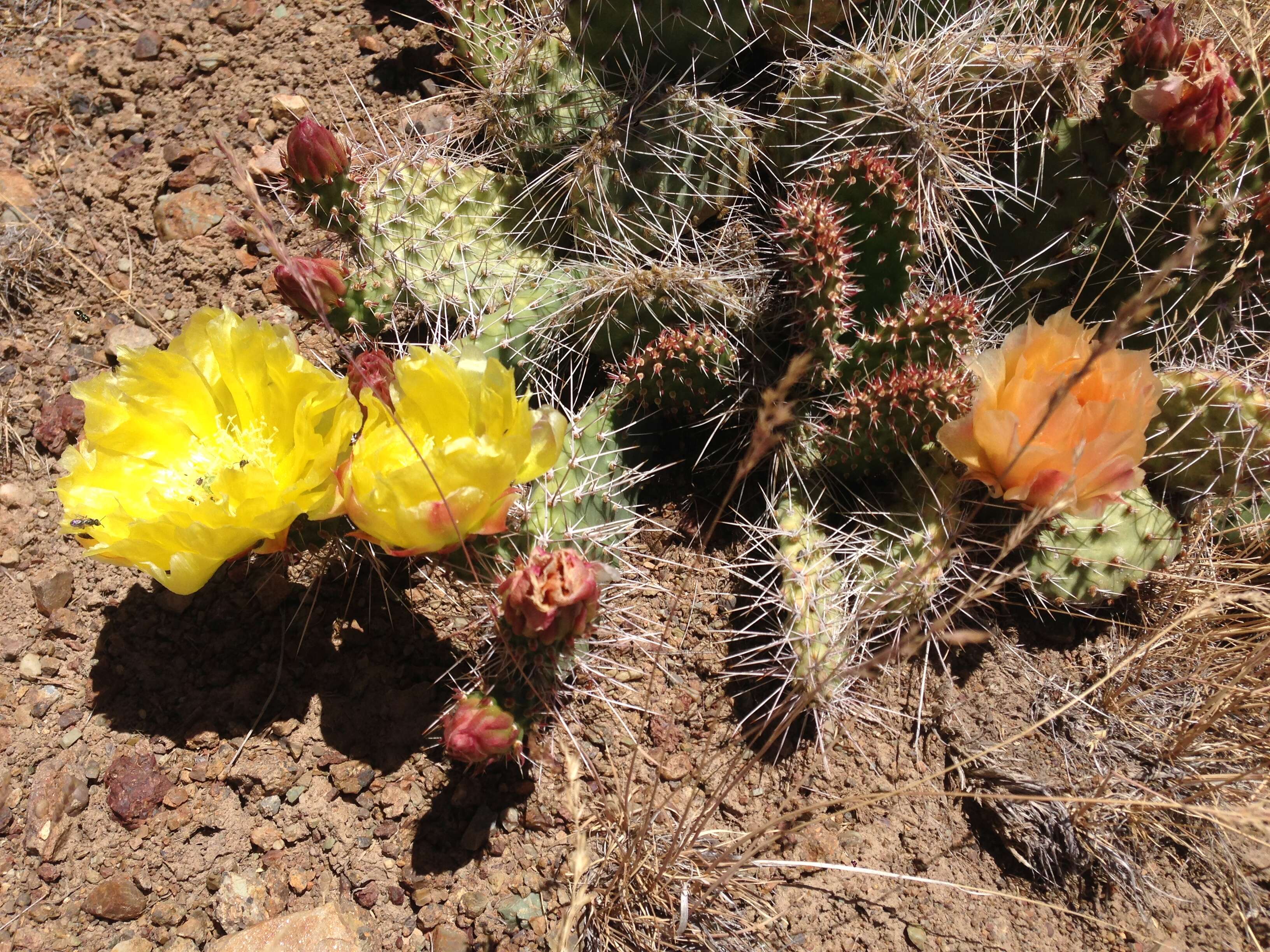
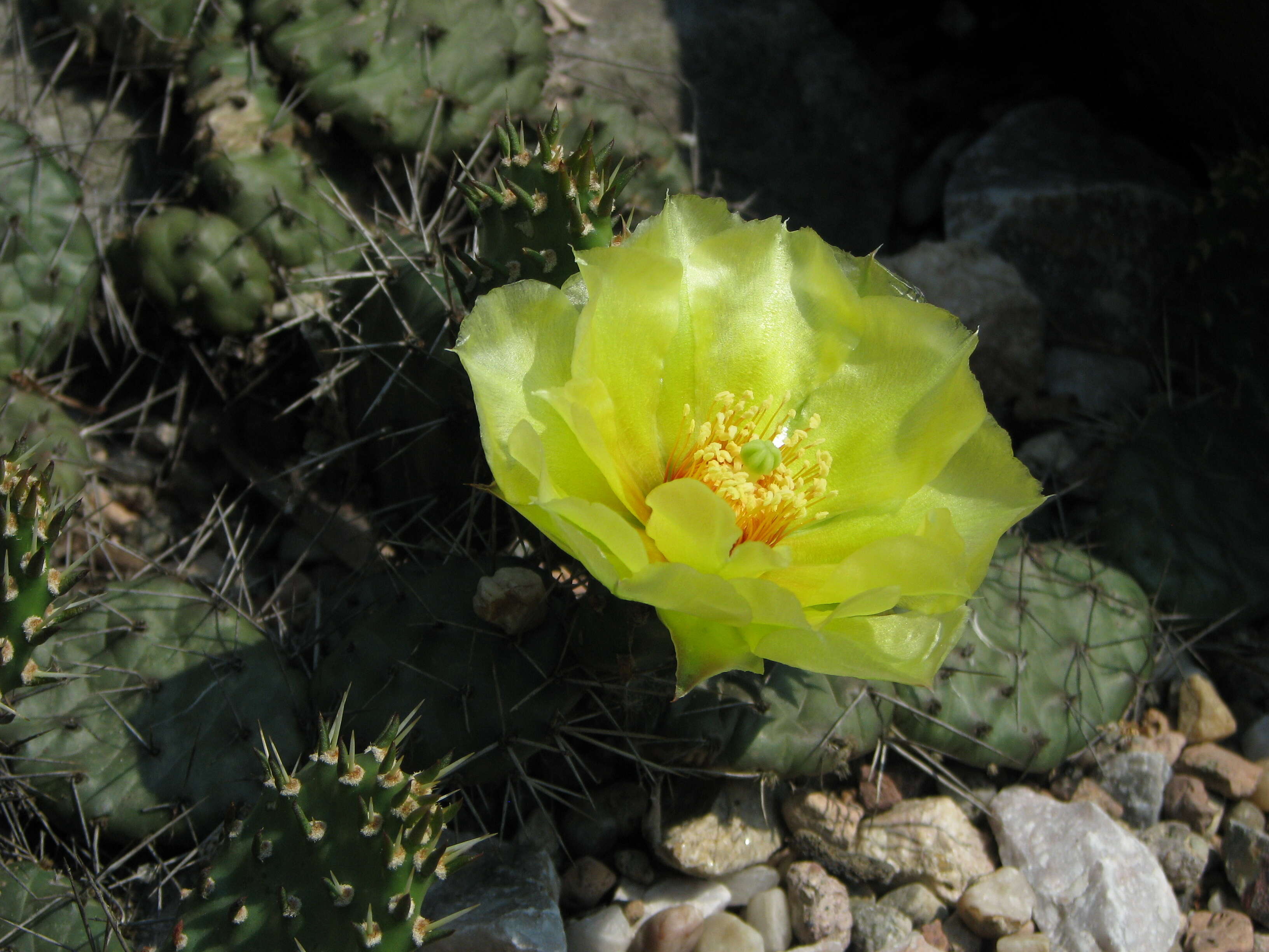
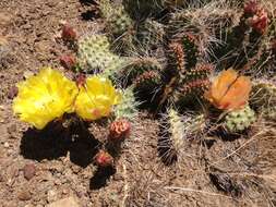
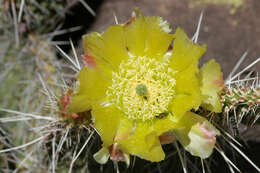
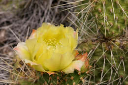
Description: English: Prickly pear cactus with yellow and orange flowers on Twin Peaks in the Adobe Range near Elko, Nevada. Date: 28 June 2014, 12:42:39. Source: Own work. Author: Famartin. Camera location40° 55′ 38.4″ N, 115° 50′ 40.8″ WView all coordinates using: OpenStreetMap 40.927333; -115.844667.
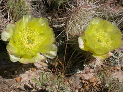
Description: Opuntia polyacantha at the confluence of the Rio Grande and the Red RIver, north-northwest of Taos, 36.653 -105.691, Taos County, New Mexico, 21 May 2008. Date: 21 May 2008, 11:48. Source: Opuntia polyacantha. Author: Patrick Alexander from Las Cruces, NM. Camera location36° 39′ 10.8″ N, 105° 41′ 27.6″ WView all coordinates using: OpenStreetMap 36.653000; -105.691000.
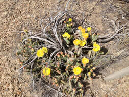
Summary.mw-parser-output table.commons-file-information-table,.mw-parser-output.fileinfotpl-type-information{border:1px solid #a2a9b1;background-color:#f8f9fa;padding:5px;font-size:95%;border-spacing:2px;box-sizing:border-box;margin:0;width:100%}.mw-parser-output table.commons-file-information-table>tbody>tr,.mw-parser-output.fileinfotpl-type-information>tbody>tr{vertical-align:top}.mw-parser-output table.commons-file-information-table>tbody>tr>td,.mw-parser-output table.commons-file-information-table>tbody>tr>th,.mw-parser-output.fileinfotpl-type-information>tbody>tr>td,.mw-parser-output.fileinfotpl-type-information>tbody>tr>th{padding:4px}.mw-parser-output.fileinfo-paramfield{background:#ccf;text-align:right;padding-right:0.4em;width:15%;font-weight:bold}.mw-parser-output.commons-file-information-table+table.commons-file-information-table,.mw-parser-output.commons-file-information-table+div.commons-file-information-table>table{border-top:0;padding-top:0;margin-top:-8px}@media only screen and (max-width:719px){.mw-parser-output table.commons-file-information-table,.mw-parser-output.commons-file-information-table.fileinfotpl-type-information{border-spacing:0;padding:0;word-break:break-word;width:100%!important}.mw-parser-output.commons-file-information-table>tbody,.mw-parser-output.fileinfotpl-type-information>tbody{display:block}.mw-parser-output.commons-file-information-table>tbody>tr>td,.mw-parser-output.commons-file-information-table>tbody>tr>th,.mw-parser-output.fileinfotpl-type-information>tbody>tr>td,.mw-parser-output.fileinfotpl-type-information>tbody>tr>th{padding:0.2em 0.4em;text-align:left;text-align:start}.mw-parser-output.commons-file-information-table>tbody>tr,.mw-parser-output.fileinfotpl-type-information>tbody>tr{display:flex;flex-direction:column}.mw-parser-output.commons-file-information-table+table.commons-file-information-table,.mw-parser-output.commons-file-information-table+div.commons-file-information-table>table{margin-top:-1px}.mw-parser-output.fileinfo-paramfield{box-sizing:border-box;flex:1 0 100%;width:100%}} Description: Opuntia polyacantha is very common in the sagebush steppe in this area and research suggests its abundance is not necessarily correlated (positively) with disturbance. Date: 31 May 2006, 11:35. Source: Opuntia polyacantha Uploaded by Jacopo Werther. Author: Matt Lavin from Bozeman, Montana, USA. Camera location47° 43′ 39.58″ N, 107° 40′ 49.57″ WView all coordinates using: OpenStreetMap 47.727661; -107.680437.
Description: Opuntia arenaria, south of Las Cruces and west of Chamberino, south of Black Mountain, Doña Ana County, New Mexico, 17 Sep 2017. Date: 17 September 2017, 14:02. Source: Opuntia arenaria. Author: Patrick Alexander from Las Cruces, NM.
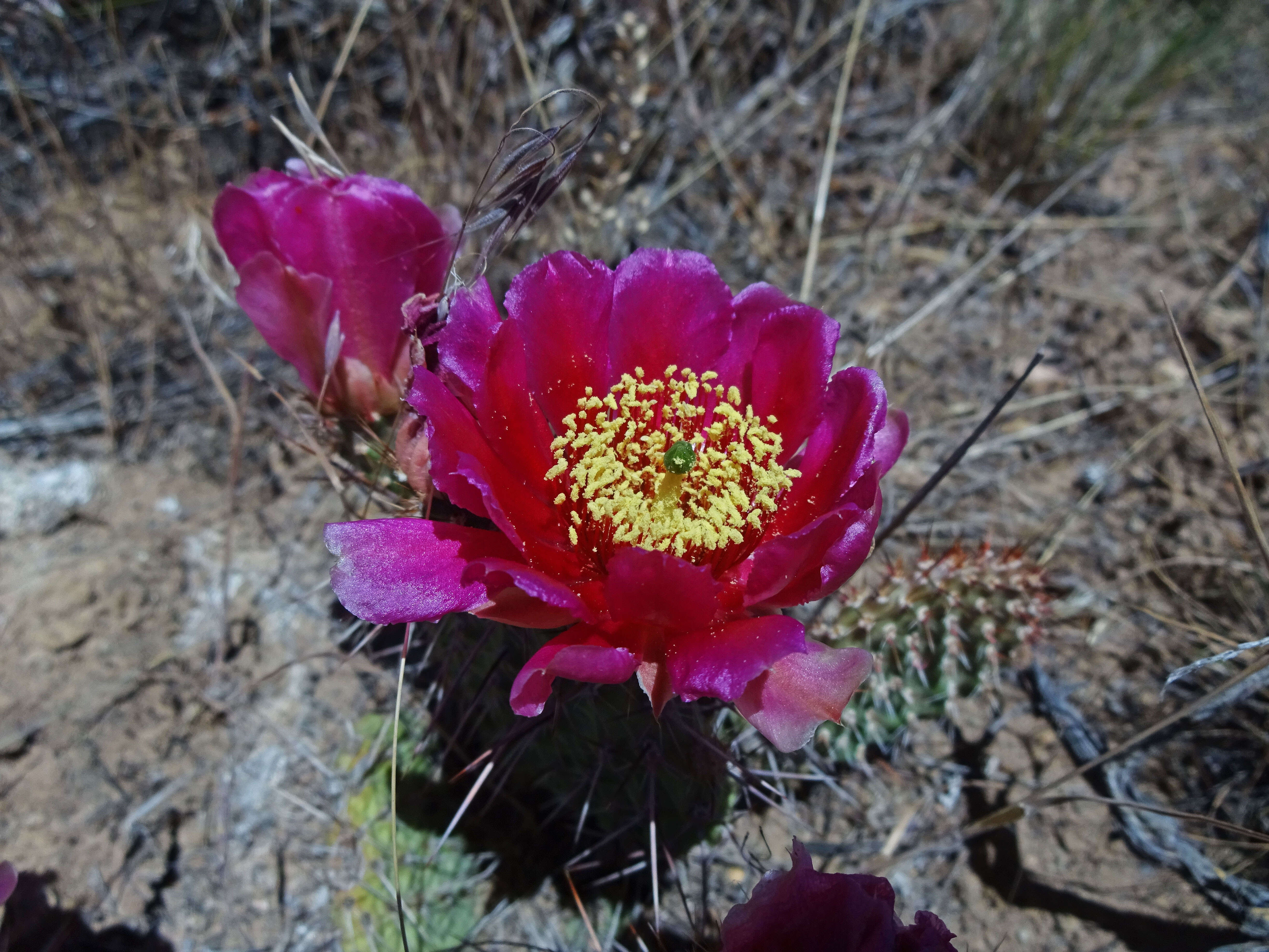
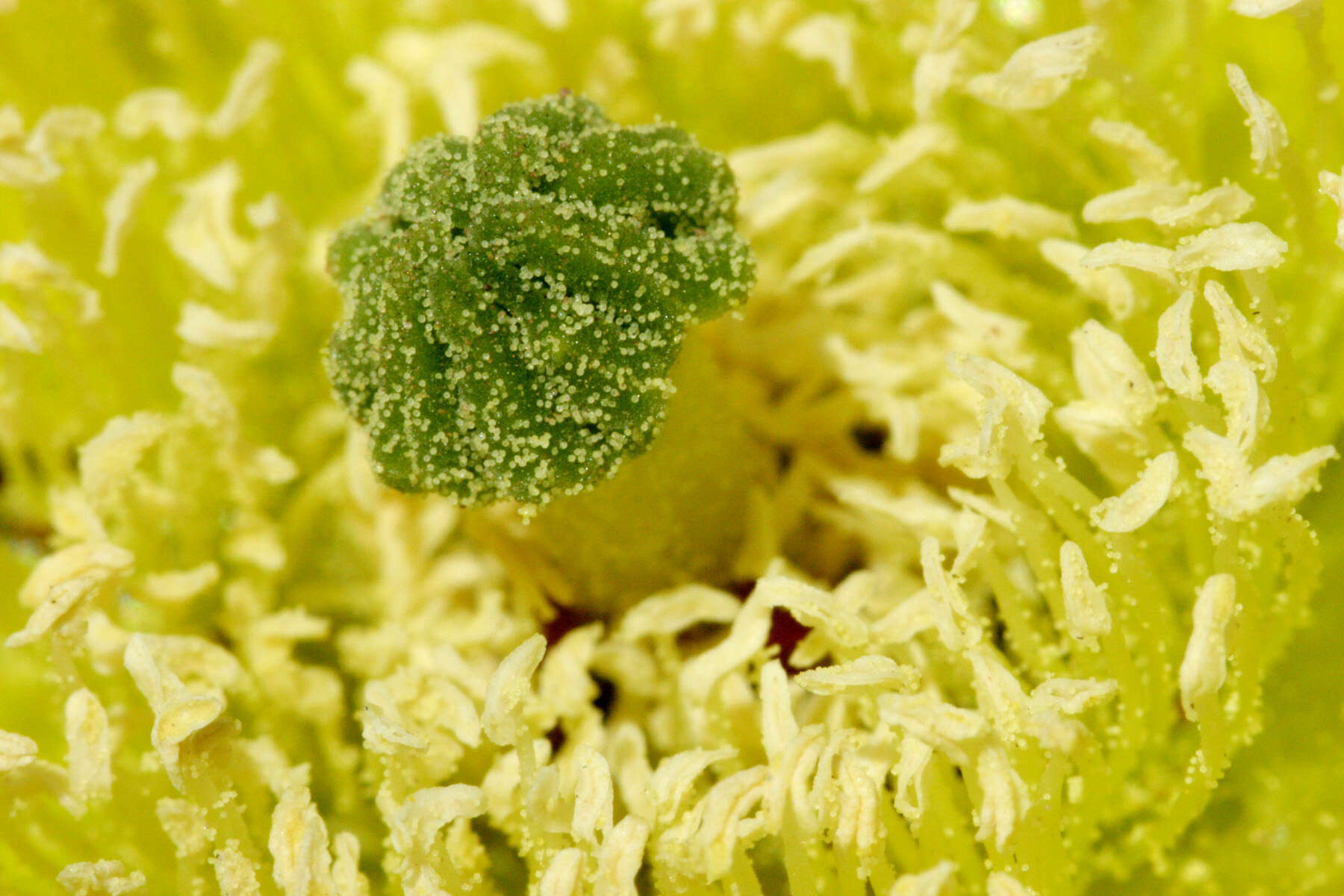
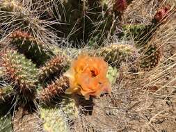
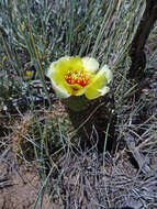
Description: English: Orange blossom on a prickly pear cactus on Twin Peaks in the Adobe Range near Elko, Nevada. Date: 28 June 2014, 12:44:10. Source: Own work. Author: Famartin. Camera location40° 55′ 38.4″ N, 115° 50′ 40.8″ WView all coordinates using: OpenStreetMap 40.927333; -115.844667.
Description: Opuntia polyacantha at the confluence of the Rio Grande and the Red RIver, north-northwest of Taos, 36.653 -105.691, Taos County, New Mexico, 21 May 2008. Date: 21 May 2008, 11:33. Source: Opuntia polyacantha. Author: Patrick Alexander from Las Cruces, NM.
Description: Opuntia polyacantha (var. erinacea?) in a burned area on the south ridge of Virgin Peak, southern Nevada (elev about 1800 m). Date: 19 May 2007. Source: Own work. Author: Stan Shebs. Stan Shebs, the copyright holder of this work, hereby publishes it under the following licenses: : Permission is granted to copy, distribute and/or modify this document under the terms of the GNU Free Documentation License, Version 1.2 or any later version published by the Free Software Foundation; with no Invariant Sections, no Front-Cover Texts, and no Back-Cover Texts. A copy of the license is included in the section entitled GNU Free Documentation License.http://www.gnu.org/copyleft/fdl.htmlGFDLGNU Free Documentation Licensetruetrue. : This file is licensed under the Creative CommonsAttribution-Share Alike 3.0 Unported license.:. Attribution: Stan Shebs. https://creativecommons.org/licenses/by-sa/3.0 CC BY-SA 3.0 Creative Commons Attribution-Share Alike 3.0 truetrue. : This file is licensed under the Creative CommonsAttribution-Share Alike 2.5 Generic license.:. Attribution: Stan Shebs. https://creativecommons.org/licenses/by-sa/2.5 CC BY-SA 2.5 Creative Commons Attribution-Share Alike 2.5 truetrue. You may select the license of your choice.
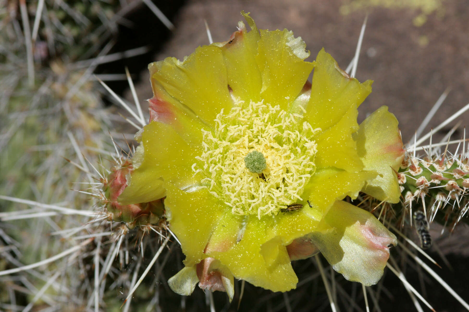
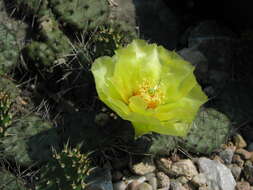
Description: Opuntia polyacantha, southeastern Grants Malpais, 34.737 -107.983, Cibola County, New Mexico, 27 May 2005. Date: 27 May 2005, 19:16. Source: Opuntia polyacantha. Author: Patrick Alexander from Las Cruces, NM.
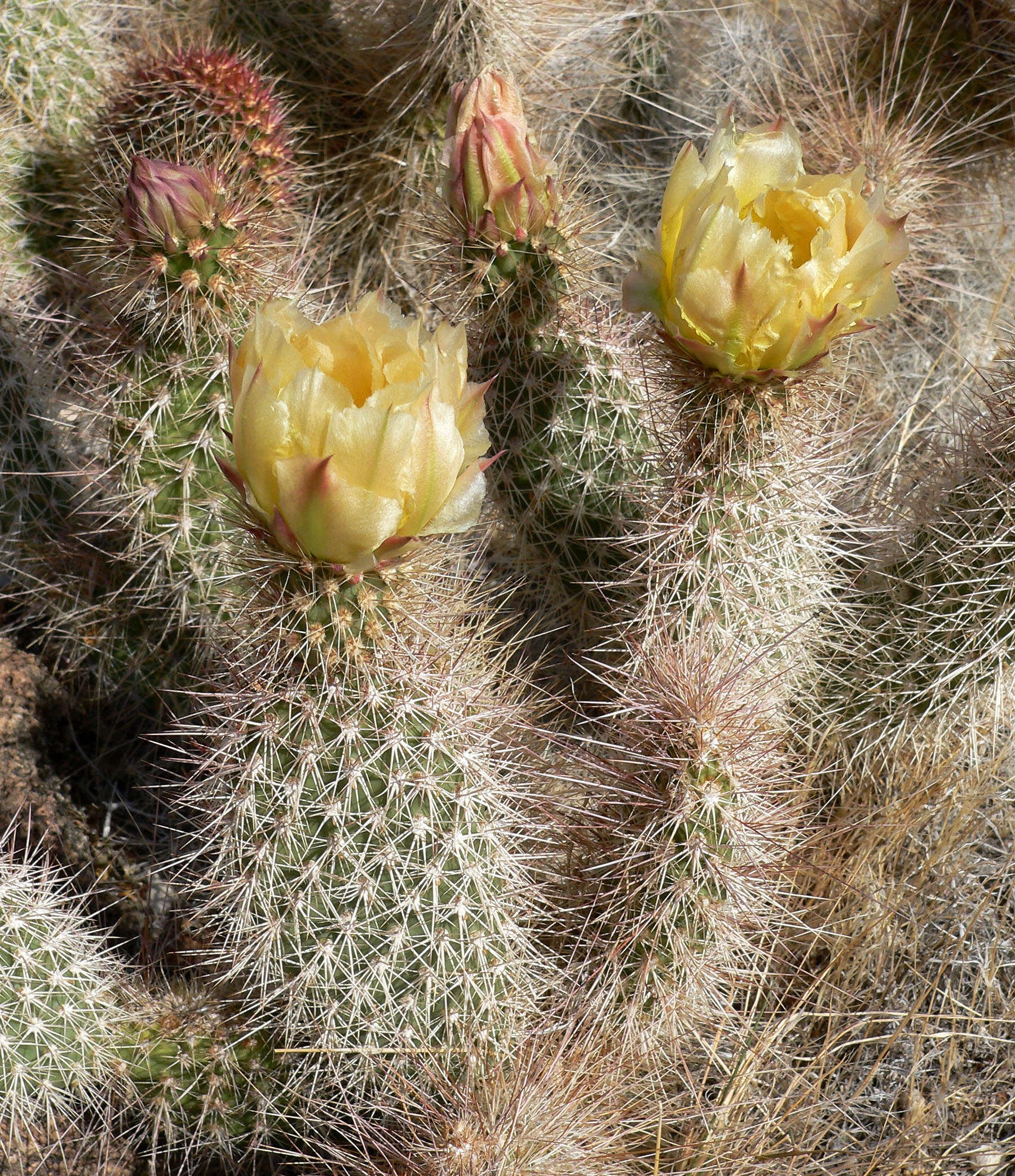
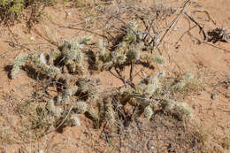
Description: Plains pricklypear (Opuntia polyacantha), Cactus family (Cactaceae). Small hills along road SR-30 in Rich County, Utah. Date: 26 June 2016, 15:06. Source: 2016.06.26_15.06.44_DSC05046. Author: Andrey Zharkikh from Salt Lake City, USA.