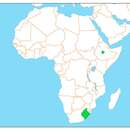
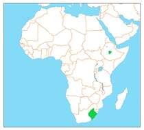
: All map images in this gallery could be re-created using vector graphics as SVG files. This has several advantages; see Commons:Media for cleanup for more information. If an SVG form of this image is available, please upload it and afterwards replace this template with {{vector version available|new image name}}. Description: Українська: Мапа поширення Sarothrura ayresi. Date: 19 January 2020. Source: Own work. Author: Стефанко1982.
Clive Kaplan, who releases it under the terms below. JMK (talk) 13:51, 15 June 2011 (UTC)
Wikimedia Commons
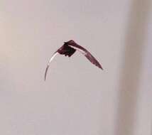
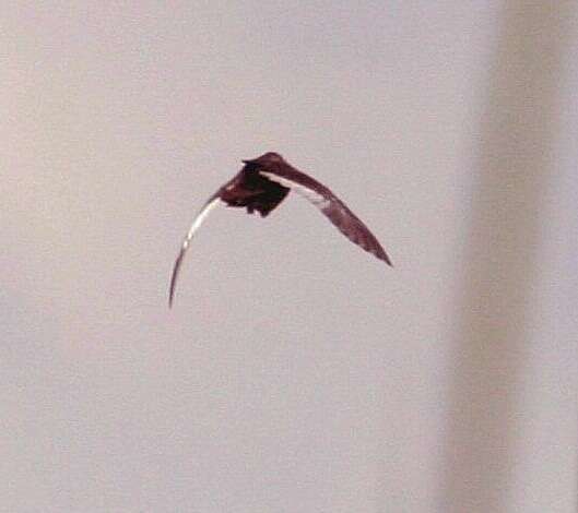
Description: Afrikaans: Witvlerkvleikuiken by Lakenvlei, Middelpunt, Mpumalanga English: White-winged Flufftail at Lakenvlei, Middelpunt, Mpumalanga. Date: February 2005. Source: Own work. Author: Clive Kaplan, who releases it under the terms below. JMK (talk) 13:51, 15 June 2011 (UTC).
Dr. Steven W. Evans of africanphotographs, who releases it under the terms below. JMK (talk) 14:03, 15 June 2011 (UTC)
Wikimedia Commons
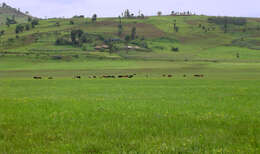
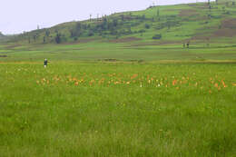
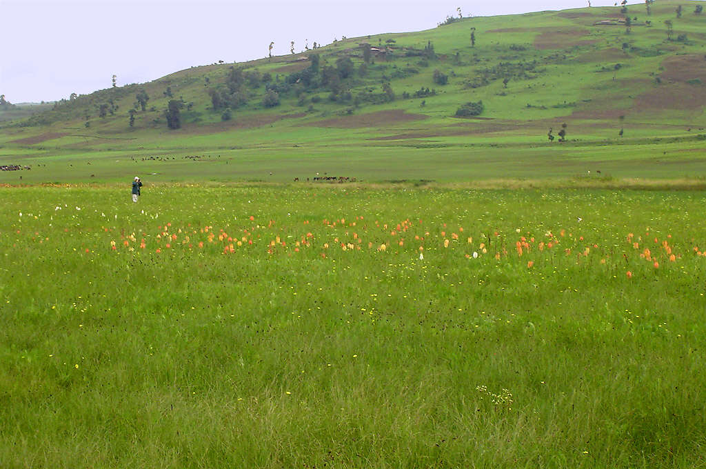
Camera location 9° 16′ 00″ N, 38° 23′ 37″ E: View all coordinates using: OpenStreetMap - Google Earth: 9.266667; 38.393611. Description: Afrikaans: Bergavleiland in Ethiopië English: Berga Wetland in Ethiopia. Date: 24 June 2003. Source: Own work. Author: Dr. Steven W. Evans of africanphotographs, who releases it under the terms below. JMK (talk) 14:03, 15 June 2011 (UTC).
Dr. Steven W. Evans of africanphotographs, who releases it under the terms below. JMK (talk) 13:58, 15 June 2011 (UTC)
Wikimedia Commons
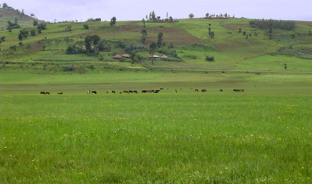
Camera location 9° 16′ 00″ N, 38° 23′ 37″ E: View all coordinates using: OpenStreetMap - Google Earth: 9.266667; 38.393611. Description: Afrikaans: Bergavleiland in Ethiopië English: Berga Wetland in Ethiopia. Date: 24 June 2003. Source: Own work. Author: Dr. Steven W. Evans of africanphotographs, who releases it under the terms below. JMK (talk) 13:58, 15 June 2011 (UTC).